PUBLIC CONSULTATION

The following page gives an overview of the surveys and assessments undertaken, which give a picture of the site constraints and opportunities. These inform the masterplan and guides where development and proposed landscaping is best located.
Click on the tabs below to open a section.
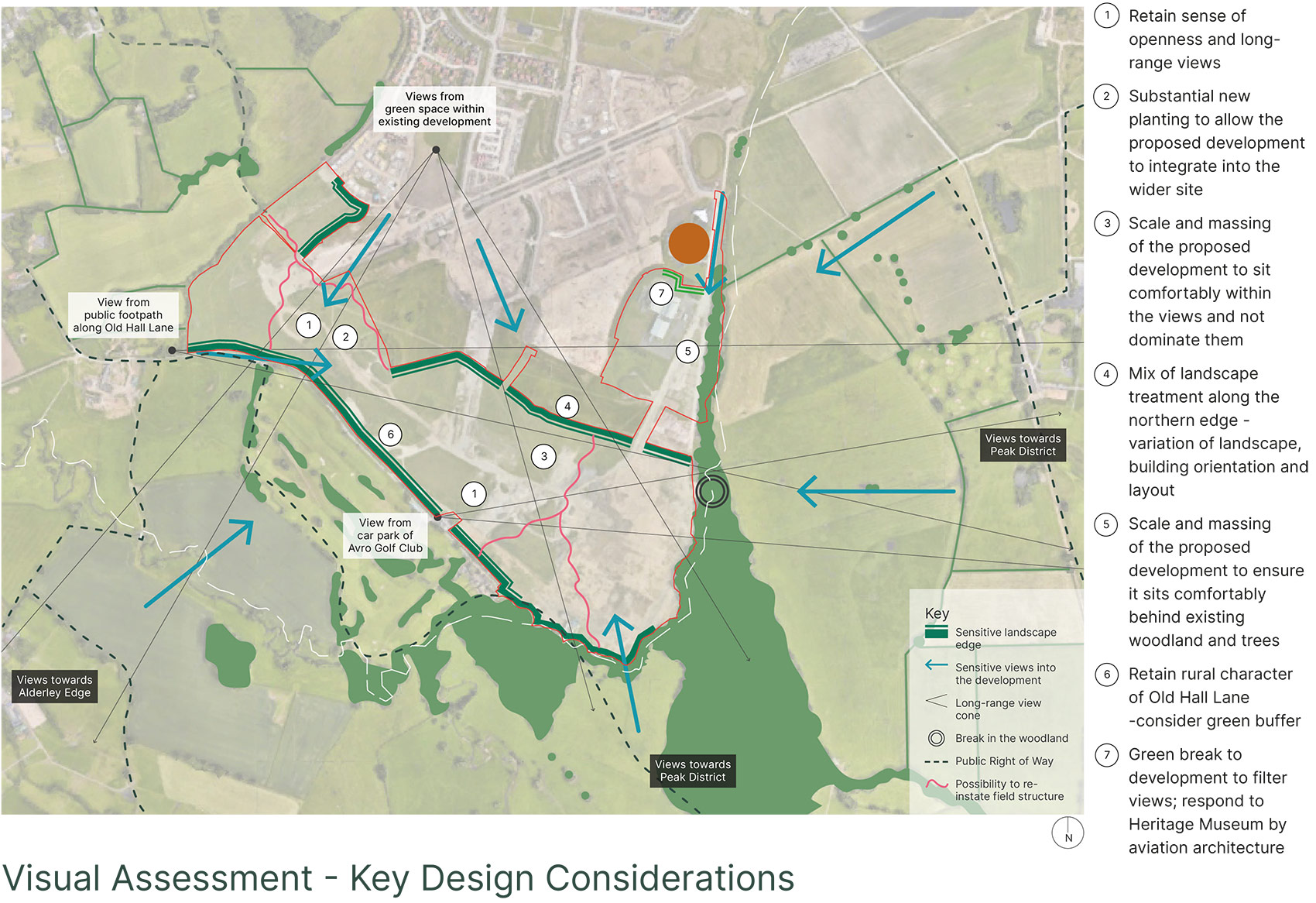
A total of 21 viewpoints were identified for the visual assessment, with 14 of them being short (immediately around the Site) and mid-range views (from the surrounding countryside), and 7 being long-range views (from the Peak District National Park).
The plan above shows key findings from the initial view testing, where edges are sensitive to change, where views can be retained, and the type of landscape treatments that could be used to help mitigate any visual effects from the proposed development.
It also indicates where buffer planting might be placed for greatest effect, such as along Old Hall Lane, and where the scale of the proposed buildings might be increased without creating visual impacts – such as around the proposed new Community Hub.
A combination of manual counts along with automatic traffic counters formed the basis of updated traffic surveys at key junctions on the surrounding highway network.
Initial traffic capacity assessments and using the 2019 traffic survey data and forecast traffic movements have been undertaken. Previously accepted trip rates for Woodford Garden Village have been applied and the findings show that the key junctions on the highway network have been found to operate within capacity over the standard peak hours. Whilst queuing is often observed at local junctions, the level of queuing is not considered to be detrimental to the safe operation of the network.
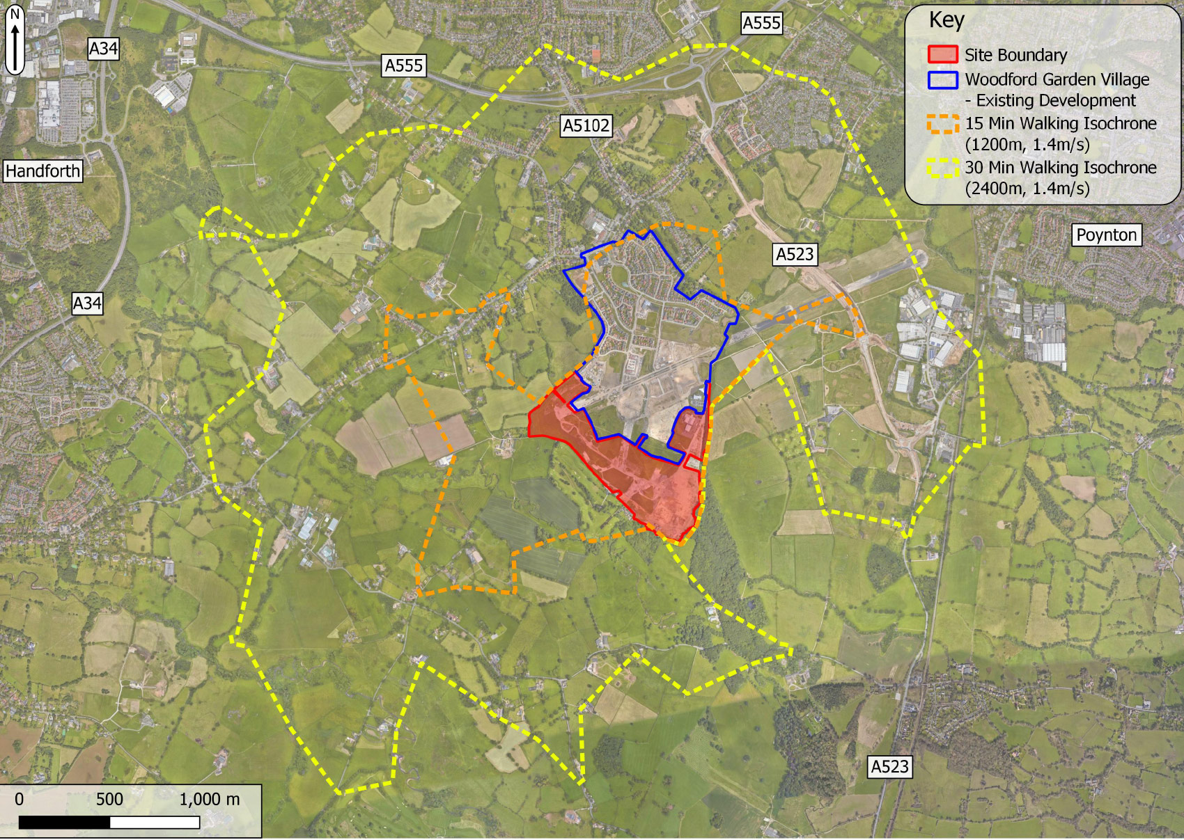

The extension site benefits from a number of pedestrian and cycle linkages that have been provided to serve the initial phase of Woodford Garden Village. The pedestrian infrastructure through the site and on to Woodford enables residents to access a number of local community facilities within a 20min walk.
A series of plant and species surveys have been carried out or are underway to understand the current biodiversity of the site and ensure that the proposed development is designed to accommodate and encourage local ecology.
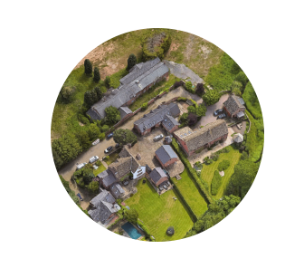
Analysis of the local area has been undertaken to identify key characteristics that might provide guidance and inspiration for this new neighbourhood.
We looked at a number of different areas predominantly in the rural areas to the south of the site including: Old Hall Lane, Mill Lane, Adlington, Wilmslow Road and Newton. This highlighted a number of key considerations:
Varying Courtyards
Courtyards of varying sizes, and pushing and pulling of building line create visually interesting massing.
Trees as Landmarks
Prominent mature trees and planting act as landmarks and signify key corners and gateways.
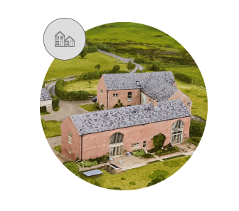
Varying Heights
Building heights that vary across buildings in the farm clusters (1.5-3 storeys) and diverse roof pitches create richness and animate the roofscape and massing.
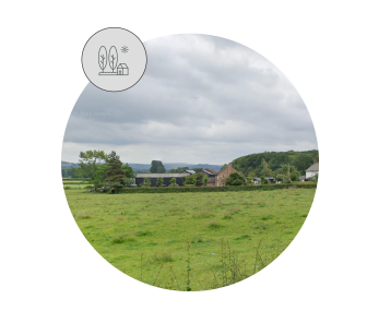
Harmonious with Landscape
Massing and scale of buildings blend with surrounding natural environment with occasional glimpses of prominent features like chimneys, or the brick walls.
Materiality
Red brick and its variations, white and buff facade render, use of timber and facade detailing typical of north-west farmsteads.
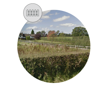
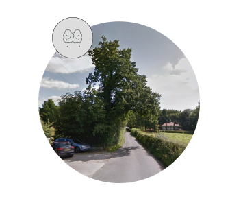
Soft Boundaries
Plot boundaries facing countryside are predominantly defined by hedging, trees and natural landscaping occasionally accompanied by low brick walls and wooden post and rail fencing.
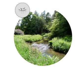
Meandering Water Bodies
Multiple watercourses that are loosely meandering through the lush vegetation and countryside coming all the way to the boundaries of some plots, also ponds as landscape features in the gardens.
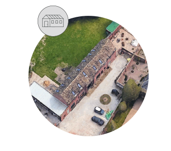
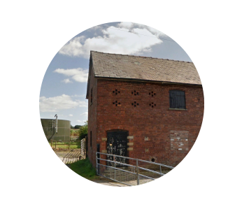
Linear Barns
Most of the surrounding farms include a strongly linear barn building usually 1.5 storey in height. This barn in most cases acts as a threshold to the countryside and is present in long-range views from the surrounding viewpoints.